16 Walks & Hikes
Selected walks across Cyprus, from short nature breaks near Limassol to waterfalls, mountain ridges and coastal paths.
Tap any walk for its detailed route on Monopatia. Distances and difficulty labels follow its mapped routes; linear distances are one-way, so allow for your return or arrange transport.
 Limassol
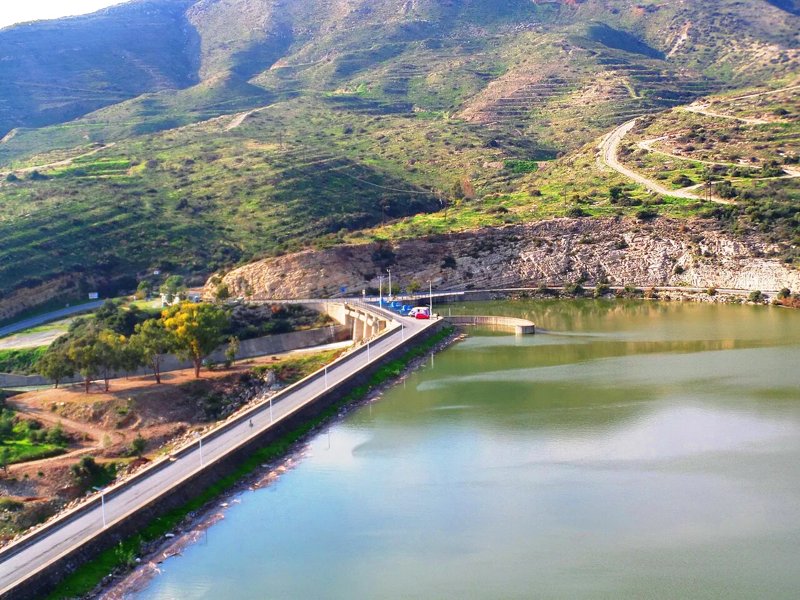
Germasogeia Dam
1.88 km · Circular · Easy
A short reservoir-side loop for an easy nature break close to Limassol.
Map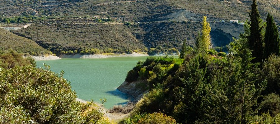 Limassol
Kyparissia
7.87 km · Circular · Moderate
Cypress woodland, unusual rock formations and views towards Limassol and the reservoir.
Map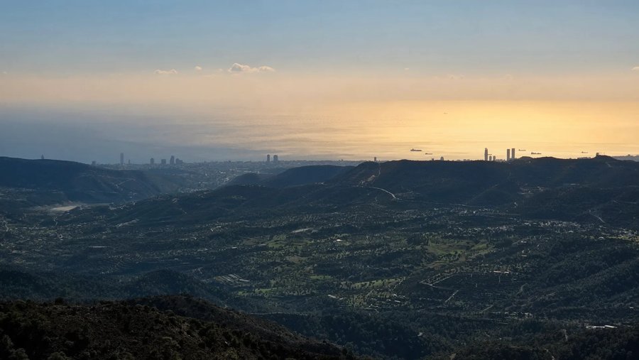 Louvaras · Limassol district
Kakomallis
2.38 km · Circular · Easy
A short mountain circuit from the picnic site, with wide views towards Limassol.
Map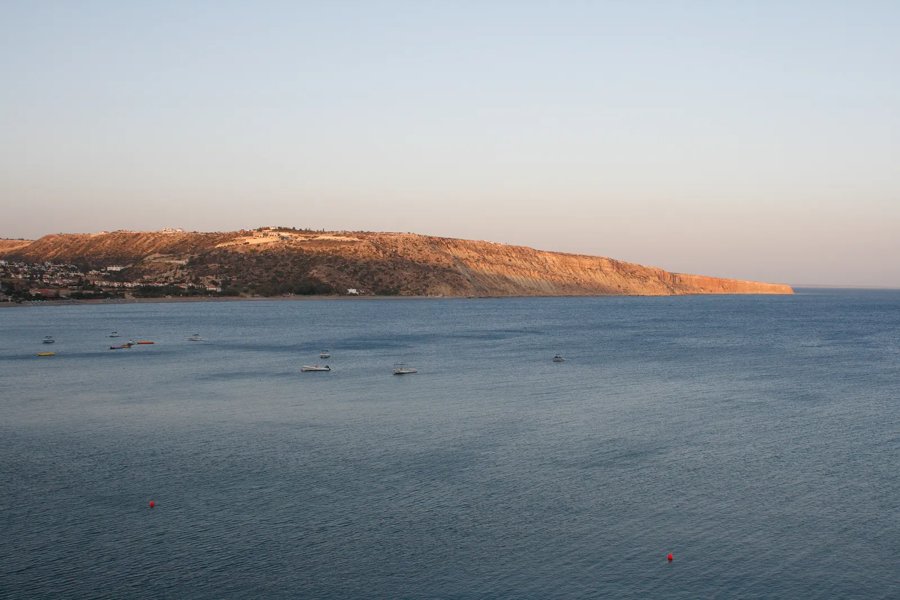 Pissouri · Limassol district
Cape Aspro · Pissouri Blue Route
7.41 km · Linear · Moderate
A village-to-coast route with striking headland scenery. Expect exposed sections and little shade.
Map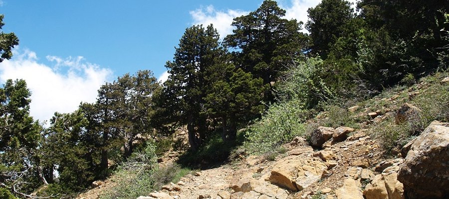 Troodos
Artemis
7.31 km · Circular · Moderate
A classic high-mountain circuit through old black pines, with expansive mountain views.
Map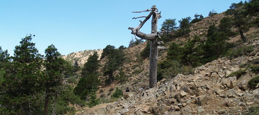 Troodos
Atalanti
13.69 km · Circular · Hard
A longer forest circuit around Mount Olympus, passing ancient trees and mining remains.
Map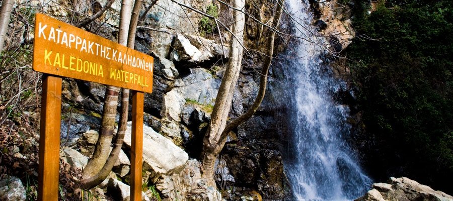 Platres · Troodos
Kalidonia Waterfall
2.89 km · Linear · Moderate
Follow the shaded stream to Caledonia Falls. Wet rocks and stream crossings need care.
Map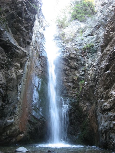 Platres · Troodos
Millomeris Waterfall
1.02 km · Linear · Easy
A short descent to the waterfall. There are steep, uneven sections; allow for the climb back.
Map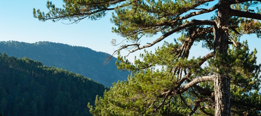 Troodos
Persephone
3.02 km · Linear · Moderate
Pine woodland leads towards the Makria Kontarka viewpoint, with a return along the same route.
Map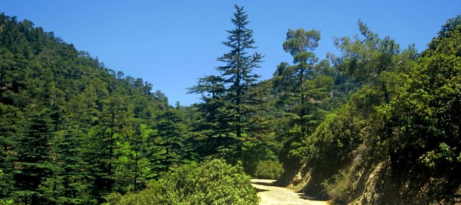 Paphos Forest
Cedar Valley
5.44 km · Linear · Moderate
Explore the quiet forest landscape and distinctive Cyprus cedars in the Paphos highlands.
Map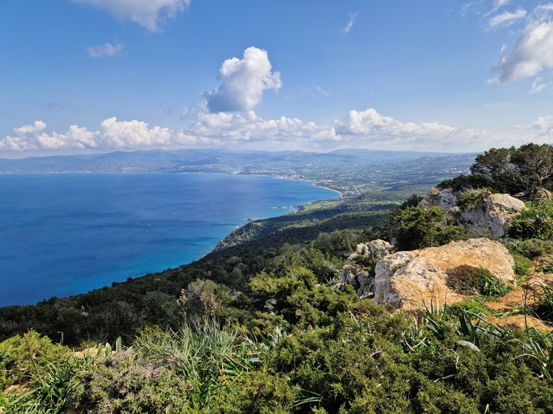 Akamas · Paphos
Aphrodite
6.46 km · Circular · Moderate
A scenic climb above the Baths of Aphrodite, with broad views of the Akamas coastline.
Map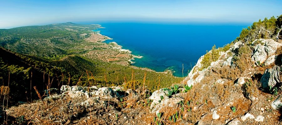 Akamas · Paphos
Adonis
7.58 km · Circular · Moderate
A rewarding hill circuit with sea views and the historic Queen’s Tower ruins.
Map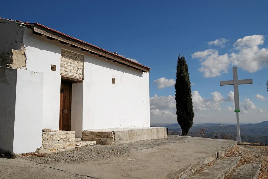 Larnaca district
Lefkara – Kato Drys
2.49 km · Linear · Easy
A countryside walk between traditional villages, with rough ground and road crossings in places.
Map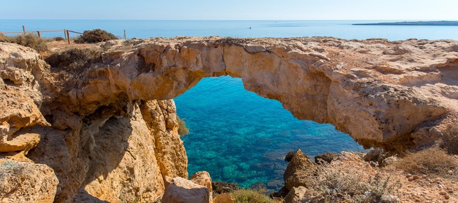 Cape Greco · Famagusta district
Agioi Anargyroi – Sea Caves
3.8 km · Linear · Moderate
Coastal limestone scenery, sea caves and views near the natural rock arch. Stay back from cliff edges.
Map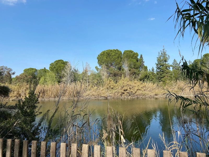 Nicosia
Athalassa · Agios Georgios
0.86 km · Linear · Easy
A gentle, short park walk for visitors who want a little greenery close to the capital.
Map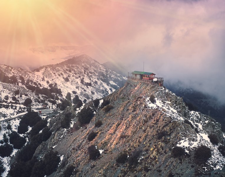 Madari · Central mountains
Madari Circular Trail
12.13 km · Circular · Hard
A demanding mountain day with substantial climbing, open ridges and far-reaching views.
MapSelected for varied scenery, route length and location—not a ranking. Details checked 3 October 2026. Routes and ratings can differ between guides: Visit Cyprus rates Kalidonia, Aphrodite and Adonis as difficult (category 3).
Check current route conditions and weather before setting out. Carry water, avoid exposed walks in strong heat, and take extra care on wet rocks and mountain trails in winter. Avakas Gorge is not included because Visit Cyprus currently marks it temporarily closed.